Intro
Design
Airframe
Hardware
Software
Testing
Launch 5
Glossary
Links
Contact
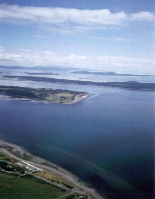
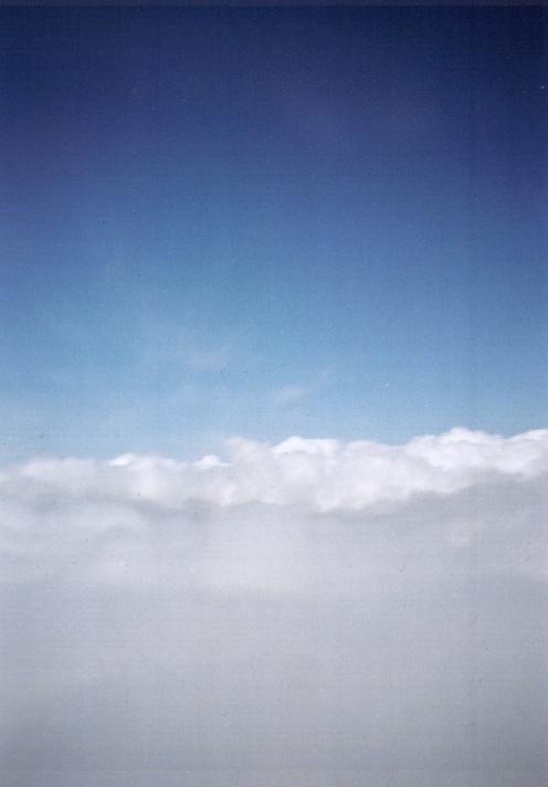
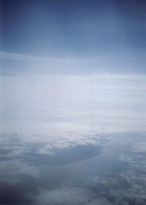
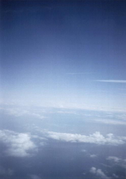
Onboard Photos from the First Launch
| 35mm photo set from balloon-launched flight #2. All altitudes are in
feet above sea level, as given by the GPS.
|
|
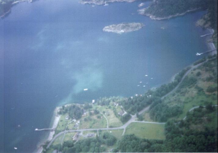
4100' |
13,025' |
18,700' |
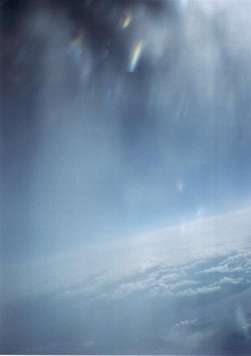
19,300' |
|
33,750' |
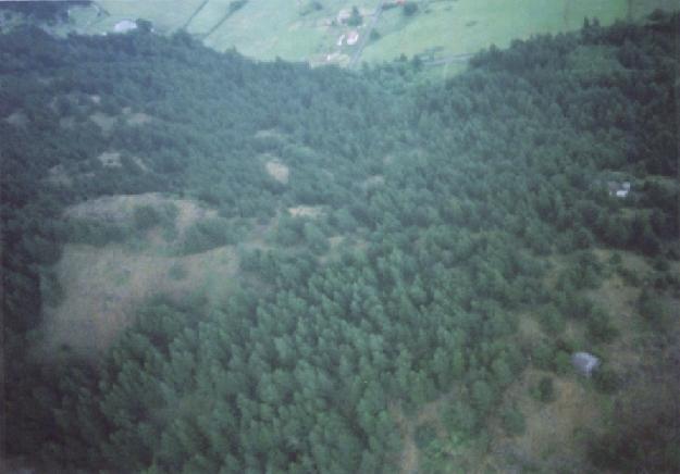
After hitting the chute. |
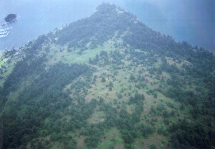
Ridge it landed on |
The landing site? |
Several photos were commanded as the glider fell, in an effort to use up the film and get it to wind, but the camera evidently did not start working again until the shock of the parachute opening. When the camera was inspected later, the gears were found to have been stripped, and it had to be carefully taken apart to wind the film by hand. Oddly, none of the glider's other internal systems showed any damage or misbehavior in post-flight inspection and testing. Perhaps the difference is just due the camera being a well worn point-and-shoot to begin with. |